Trail Boss - Donna Fleischer - 303-981-8575
RSVP by Monday, April 20, 2026 - Sign Up below or Call Donna
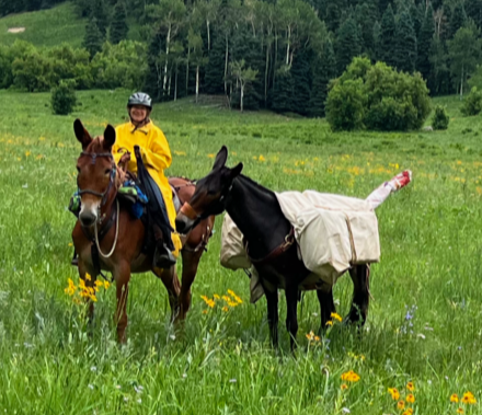
Ready to Ride Out 9:30am. Trail is easy to moderate. 1st 2 miles is CT Seg4 links to the south end of Payne Creek trail. Mostly easy to navigate with stretches of gravel and rock, some narrow trail stretches with granite rock/boulders. Approx 8200 ft altitude rising to about 9800 ft. First 3.5 trail miles are clear. Estimated 8 mile round trip total.
Shoes/boots recommended. Bring lunch and plenty of water for yourself. Not advised for beginner horses or riders, need to be trail aware and self-sufficient. Each rider will carry a saw to use - no chainsaws.
Directions: SW on US285 to Bailey. Turn left at bottom of Crow Hill, CR68 past several businesses then turns to a gravel road. At each intersection bear right, remain on CR68 follow signs toward Wellington Lake and The Outdoor Lab. Rolling Creek TH signage indicates Colorado Trail crossing. Small parking lot on the right, park near entrance. Room for 4-5 rigs. Do NOT proceed up the road-no place to turn around. If no room in lot, proceed to The Outdoor Lab to turn around and come back to park on the road.